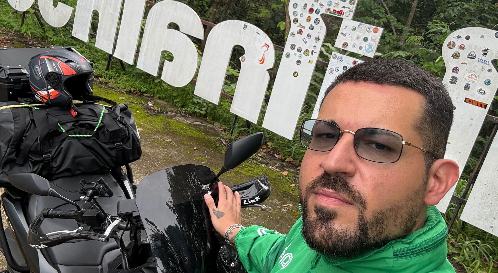
The eastern loop that starts in Chiang Mai and cuts straight into the northern mountains. Seven days, ~964 km, on a motorbike. Not a tourist ride — the Thailand almost nobody rides.
Launch price · instant access after payment
Ridden and tested in person — stage by stage, hairpin by hairpin.
Start the Loop →The western ride — Pai, Mae Hong Son — everyone does that.
This is the eastern loop: mountains, high-altitude salt flats and passes almost nobody rides.
Real roads, real villages, almost no tourists.
I rode this itinerary myself, stage after stage. I rode these roads, slept along the way, checked distances, climbs, stops and trouble spots. The Northern Loop comes from the real experience of the trip, not from a route drawn up at a desk.
What you'll find inside is the route I wish I'd had before I set off.
There are roads that aren't there
to get you somewhere faster.
The Northern Loop is a web app: you open it on your phone, carry it in the saddle, and it works even where there's no signal.

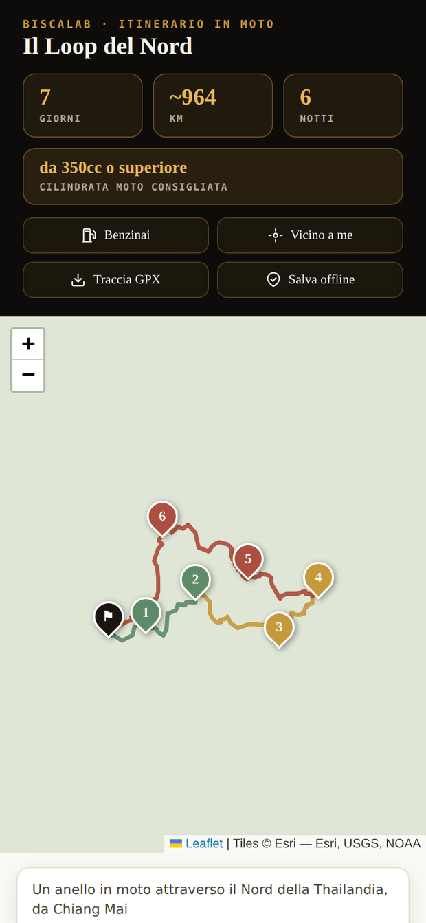
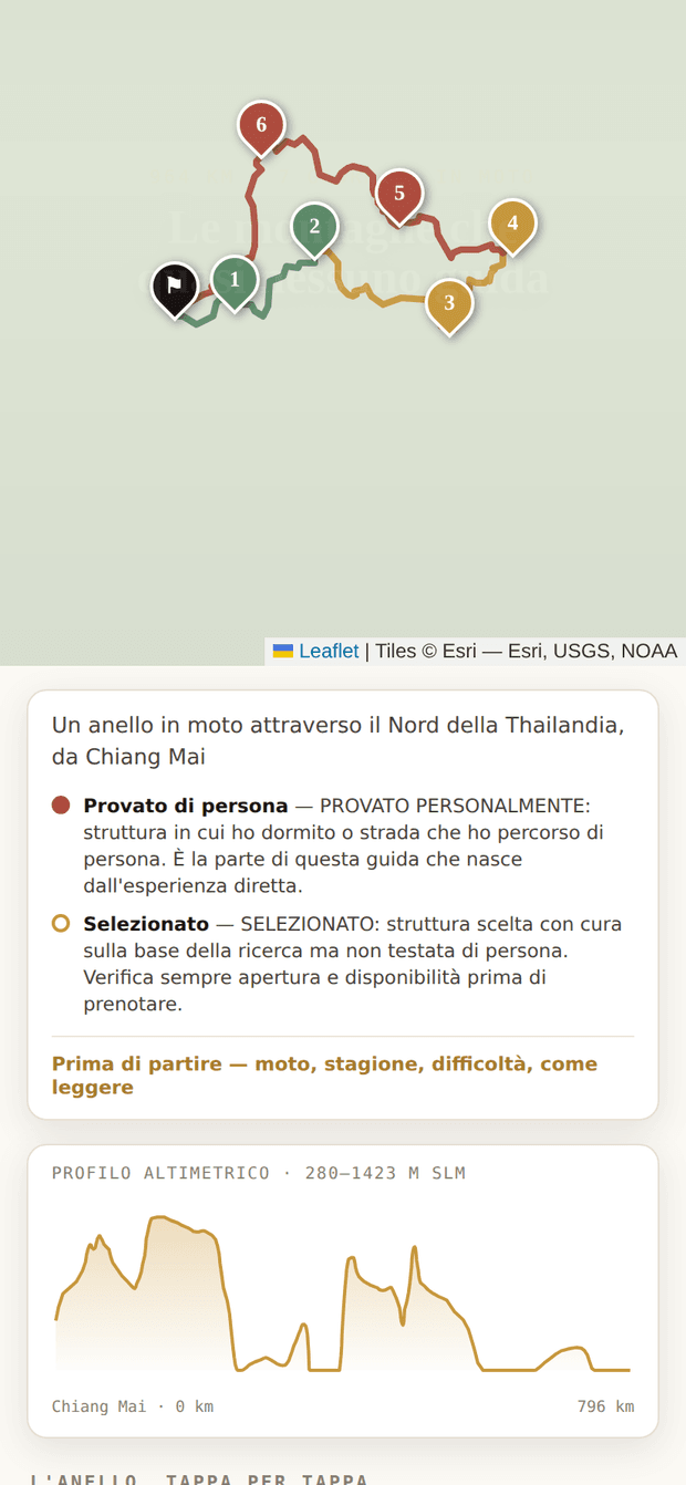
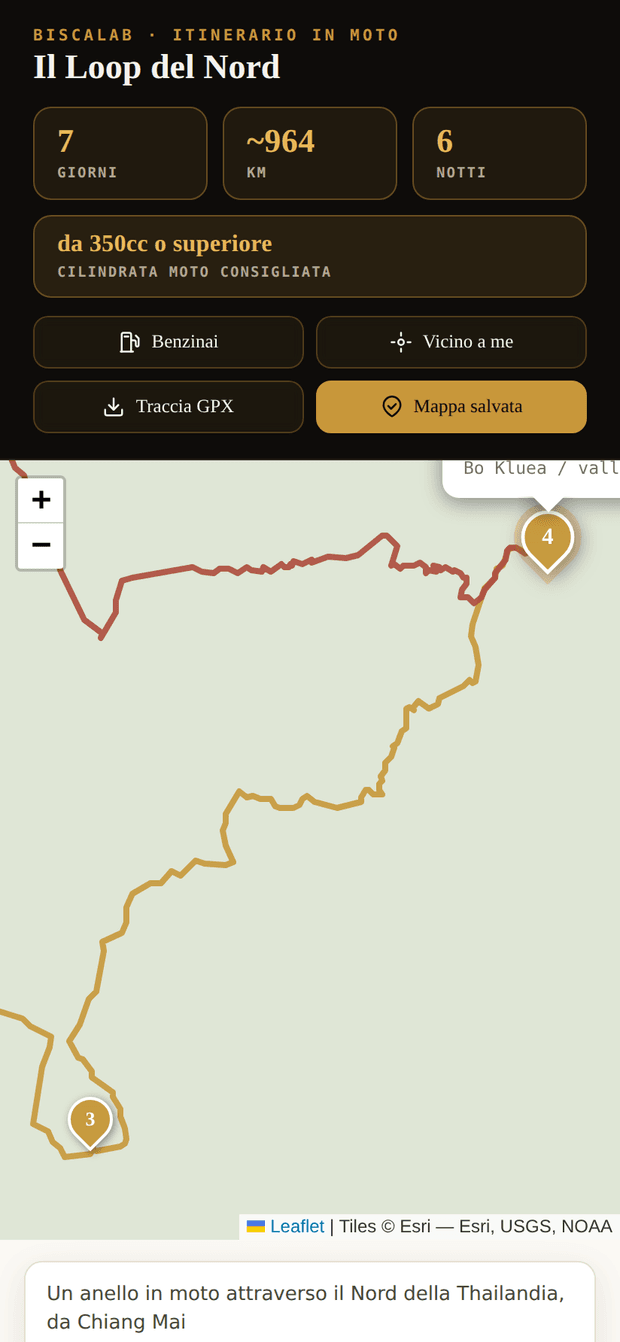
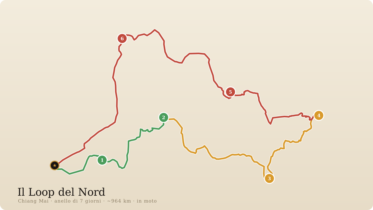
The actual road drawn by GPS, one colour per difficulty. Tap a stage and the map frames it for you, terrain and all.

GPX track for the whole loop for Calimoto or OsmAnd, with the pass elevations. Or open each stage in Google Maps with one tap.

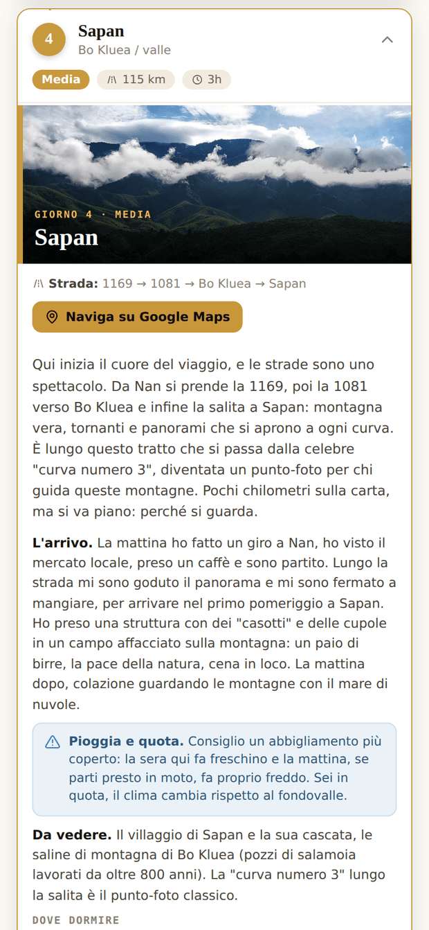
The road for the day, hand-picked lodging (with my pick), safe fuel stations and the practical data: start point, last fill-up, cash, signal.

"Save offline" at home and you carry the map into the mountains, no data needed. Personal access by email, up to 2 devices. Nothing to download from a store.
This is where you understand why you left.
You leave and return to Chiang Mai. The difficulty grows with the trip: you start out easy and finish on the real mountain. A different world every night.
Gentle bends and hill forest: the opening stage, to ease into the trip.
EasyA quieter day looking out over a large northern lake, before the ride gets serious.
Easy-moderateA relaxed little jewel of a town, off the tourist routes: the last bit of comfort before you climb into the mountains.
ModerateReal hairpins through the eastern mountains, where you slow down only because you're looking. The centre of the whole trip.
ModerateYou climb and sleep high, to wake up above the sea of mist at dawn.
DemandingThe toughest day, all uphill towards the high-altitude plantations. The last night of the loop.
DemandingThen the ride back that closes the loop. ~964 km in total, seven days in the saddle. The names, the roads and the GPS points for each stage are inside the product.
No hours spent comparing roads, distances, lodging and fuel stops. Open the map, pick the stage and go.
The route is already built.
The stages are already organised.
The lodging is already selected.
The fuel stops are already marked.
The GPX track is ready.
Every day has the info you need to ride.
And it works even without a network, where there's no signal.
Simple, instant, yours. Here's exactly how it works.
Secure checkout with Stripe — card or Apple/Google Pay. No card details ever pass through me.
Instant: once the payment is done you're already inside the map, no waiting.
With your email, up to 2 devices. No app to download from a store.
You save it offline and use it even where there's no signal. The map lives on your phone.
One purchase, instant access. The map lives on your phone and works even where there's no signal.
Launch price · secure payment with Stripe
Buy now →You forget the price. Not the road.
Seven days, one single loop, a Thailand almost nobody rides.
Buy now →A mountain ride, by motorbike, in a rural region. It's not for everyone: hairpins, isolated stretches and, in the rainy season, mud and reduced visibility — it takes confident riding and a suitable bike. The lodging is hand-picked but must be checked and booked in advance, especially on the isolated stages. Golden rule for fuel: always fill up in the last big town before every mountain stretch, don't count on isolated pumps. The content is for information purposes: riding safely and respecting the highway code remain your responsibility.